Forecasting localized extreme drought and heat impacts in Africa


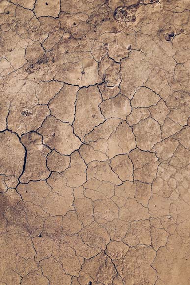

Climate change leads to an accumulation and intensification of various climate extremes. Drought and heat waves are expected to become more frequent in the future, as the corresponding persistent weather situations become more and more probable. The effects on various sectors are substantial, as could be seen for example from the effects on agriculture, inland waterways, and consequently nutrition and energy supply.
There is currently a lack of methods for assessing, in fine resolution, drought impact at the local level, as this requires downscaling from meteorological scales to sub-kilometer level using satellite data. The second gap is a lack of understanding of memory effects considering ecosystem dynamics after a drought event. A better understanding could be achieved with so-called hybrid dynamic models, which model the system partly with physical equations, partly with Machine Learning.
This DeepCube Use Case – with the use of AI on big EO data – aims to address key scientific needs such as the forecasting of long-term effects of drought and heat, the prediction of localized impacts given coarse scale meteorological information, the combination of physical approaches and Machine Learning to model the spatio-temporal drought impact, as well as the definition of spatial factors that yield impact susceptibility versus resilience to meteorological drought and heat waves, based on multivariate historical data analysis.
Africa minicubes dataset

We have created an open-access dataset consisting of 50.000 spatio-temporal minicubes (13 Tb, 2017-2022). The DeepCube Africa Minicubes dataset has been designed for prototyping models for forecasting drought impacts in Africa. It pairs high resolution remotely sensed spectral bands with weather observations into sparsely sampled minicubes of 3.84×3.84Km.
The data is shaped into minicubes in order to facilitate the training of deep learning spatio-temporal models that make use of both spatial and temporal dependencies (convolutions and recurrency, e.g., video prediction models).
Access the dataset on Zenodo: https://doi.org/10.5281/zenodo.5079843
Visit the link for more information about the EarthNet team and the datasets for Africa: https://www.earthnet.tech/en23/ds-africa/
Publications
Claire Robin, Christian Requena-Mesa, Vitus Benson, Lazaro Alonso, Jeran Poehls, Nuno Carvalhais, Markus Reichstein, Learning to forecast vegetation greenness at fine resolution over Africa with ConvLSTMs, Artificial Intelligence for Humanitarian Assistance and Disaster Response Workshop at NeurIPS 2022, https://doi.org/10.48550/arXiv.2210.13648
Video talk Learning to forecast vegetation greenness at fine resolution over Africa with ConvLSTMs at the NeurIPS 2022 workshop Tackling Climate Change with Machine Learning: https://slideslive.com/38993905/learning-to-forecast-vegetation-greenness-at-fine-resolution-over-africa-with-convlstms
Use Case Leader
Max Planck Institute for Biogeochemistry
Interested in learning more? Contact us!
Markus Reichstein, [email protected]
Nuno Carvalhais, [email protected]